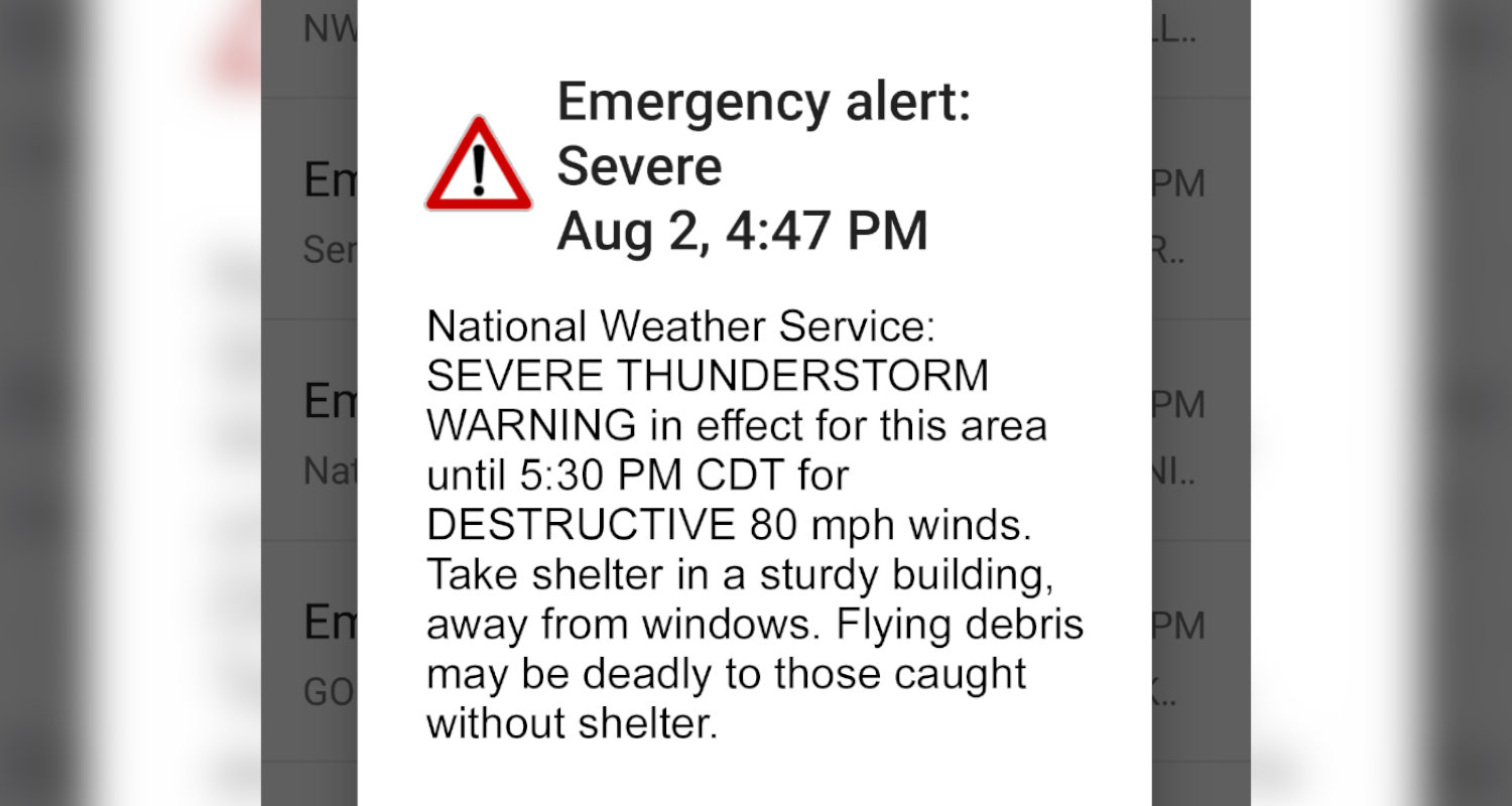
Daytona Beach, FL - Starting next week, any severe thunderstorm that carries a "destructive" damage threat will trigger a wireless emergency alert, according to the National Weather Service.
According to the NWS, there are three categories when it comes to severe thunderstorm damage threats, those being destructive, considerable, and base. Destructive or considerable damage threats will be included with each alert, if the threat exists, but only a "destructive" severe thunderstorm tag will trigger a wireless emergency alert within the warned area. The criteria for each category are as follows:
On average, only 10 percent of all severe thunderstorms reach the destructive category each year, nationwide. These types of storms can include damaging wind events, such as derechoes, and some of the larger, more intense thunderstorms can typically produce very large hail.
The NWS says the new destructive thunderstorm category conveys to the public urgent action is needed, a life-threatening event is occurring and may cause substantial damage to property.
All NWS severe thunderstorm warnings will still be issued through the Emergency Alert System (EAS), NOAA Weather Radio, and through dissemination systems to emergency managers and NWS partners.


