The National Weather Service has placed Flagler County, among other areas in the state, under a tornado watch until 10:00 pm on Thursday. The watch was activated as the effects of Hurricane Helene began to be felt across the state of Florida.
The tornado watch was issued late Thursday morning for a region including much of northeast Florida, including many counties adjacent to Flagler; St. Johns, Duval, Nassau, and Putnam were also under the watch. Volusia County was also placed under a tornado watch along with much of east and central Florida, though theirs will expire two hours earlier at 8:00 pm Thursday.
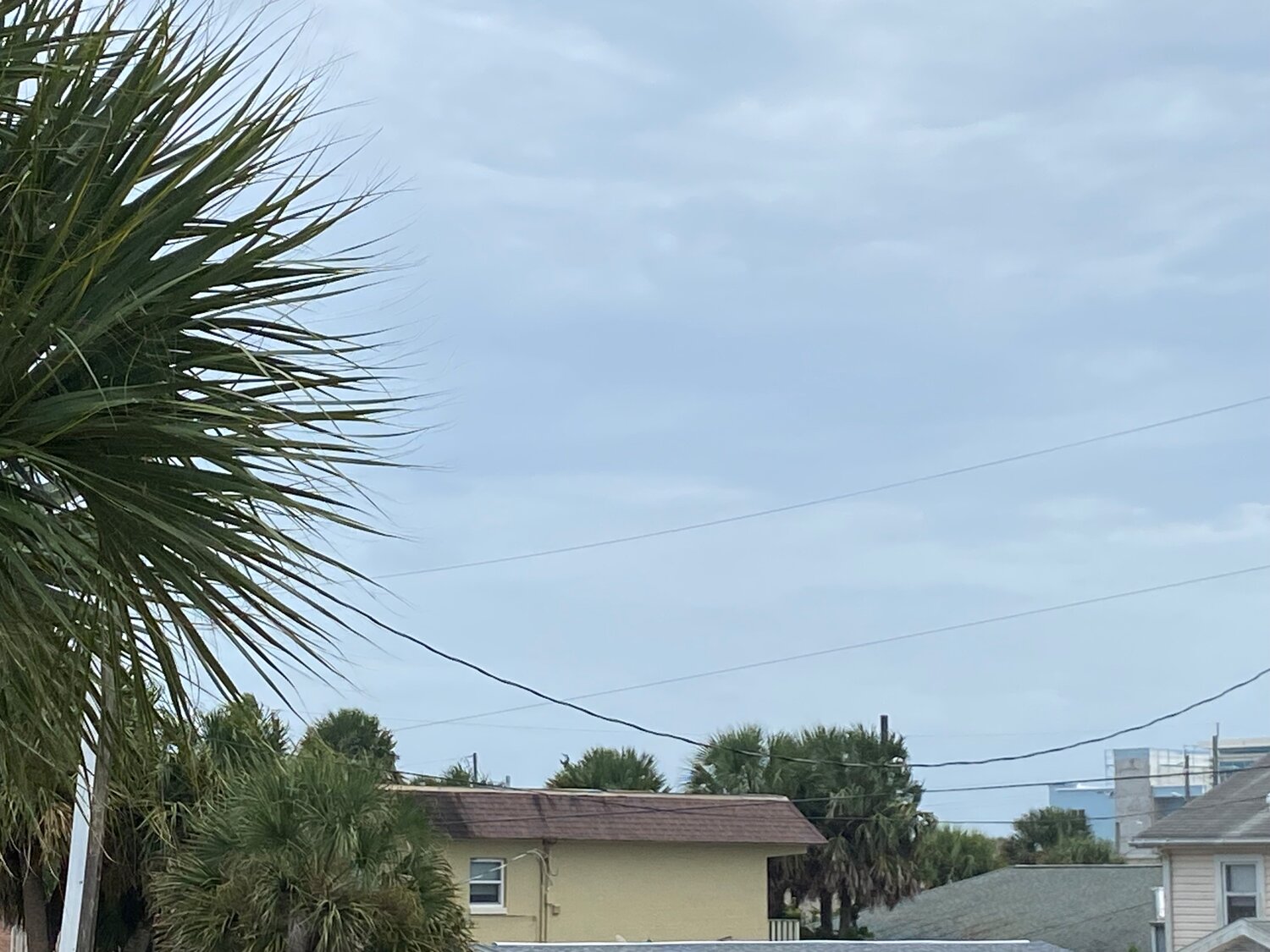
In addition to the tornado watch, Flagler County remains under a tropical storm warning, flood watch, and coastal flood warning as of Thursday afternoon. Winds are expected to reach sustained speeds of 25 to 35 miles per hour with gusts into the 50's, according to a report from the Flagler County Emergency Management Department.
A tornado watch indicates conditions are favorable for a tornado to form, but that one has not necessarily been observed yet. A tornado warning indicates that a tornado is imminent for the area in question, and that those in that region should seek shelter immediately. The National Weather Service advises that in the event of a tornado, families should have a predetermined safe place in the home which is away from windows, preferably a hallway, bathroom, or closet.
The forecast in Volusia County is slightly more worrying, with gusts reaching up to 60 miles per hour according to the Volusia County Emergency Management Department. Rainfall in both Volusia and Flagler counties is expected to total to about one to three inches, with isolated areas potentially having more.


